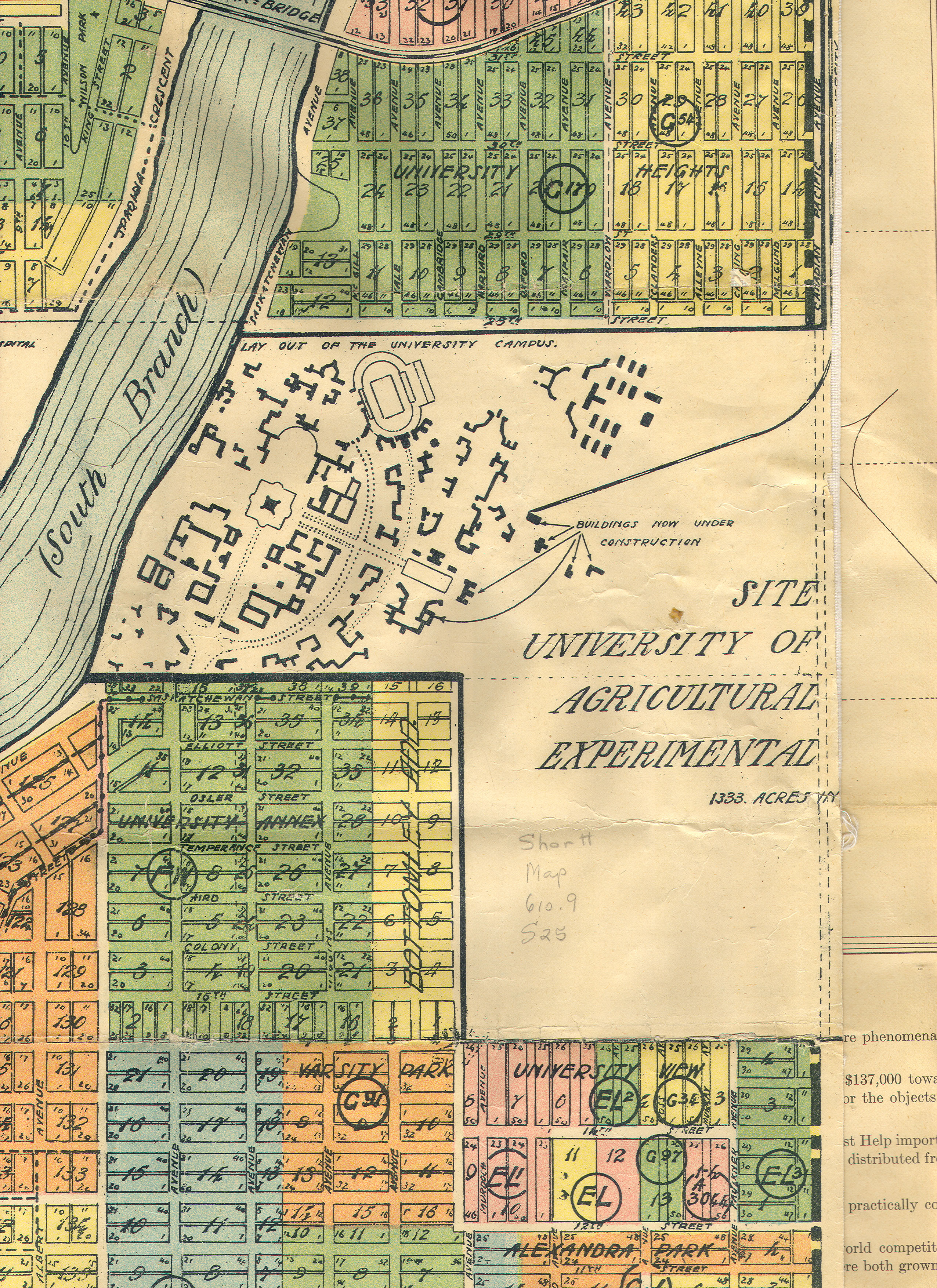
The elaborate campus plan would not act as a blueprint for further development and was already inaccurate. University Heights and Parkdale north of the campus were surveyed but never developed.
When the map was produced the city was booming and anything seemed possible. A few years later the property bubble burst and growth slowed.